Corte in Fiore - Rain Day 1
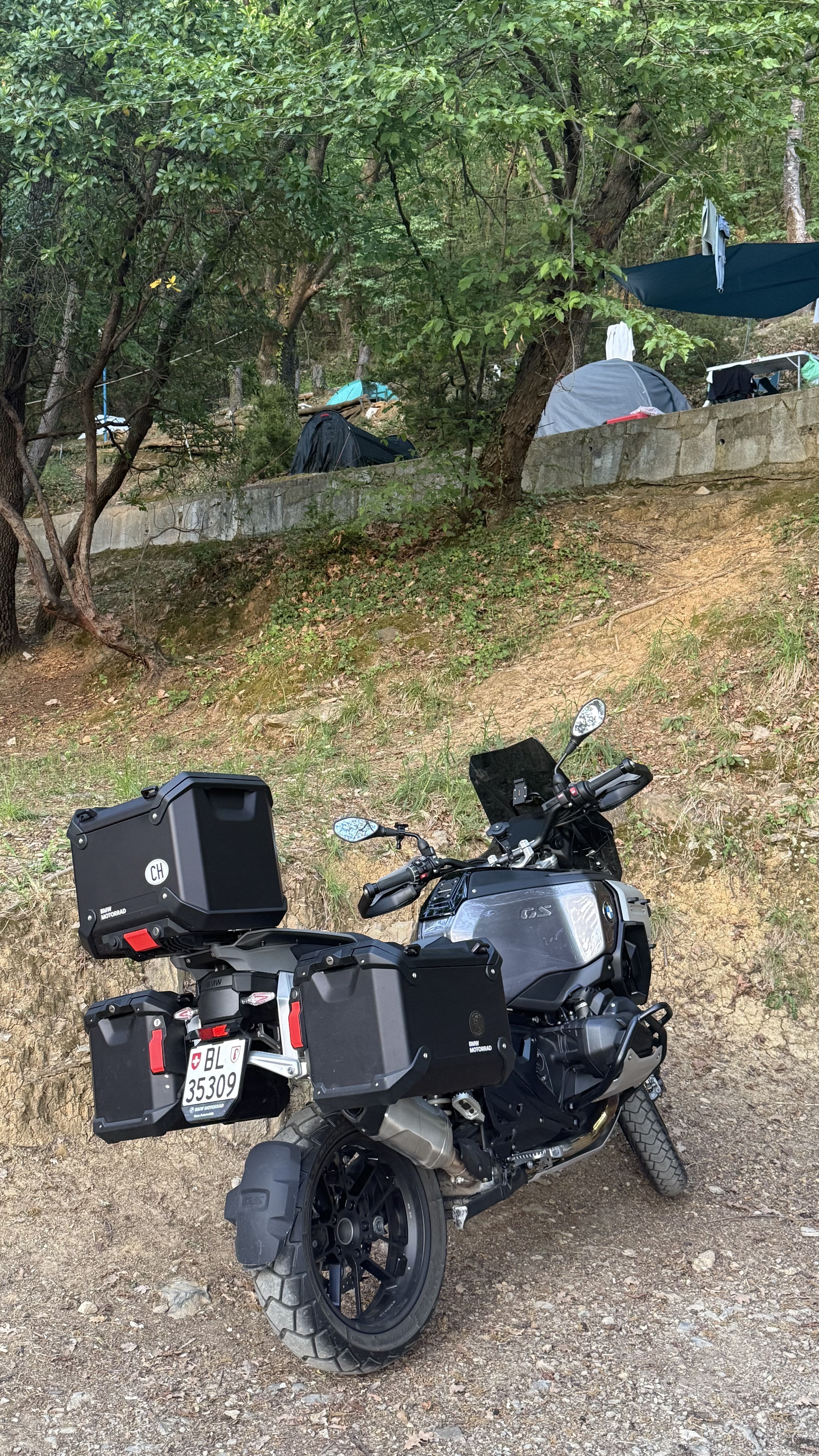
Held position at Corte in Fiori as three days of rain forced a shift from riding to optimization, refining the route and resetting the system.
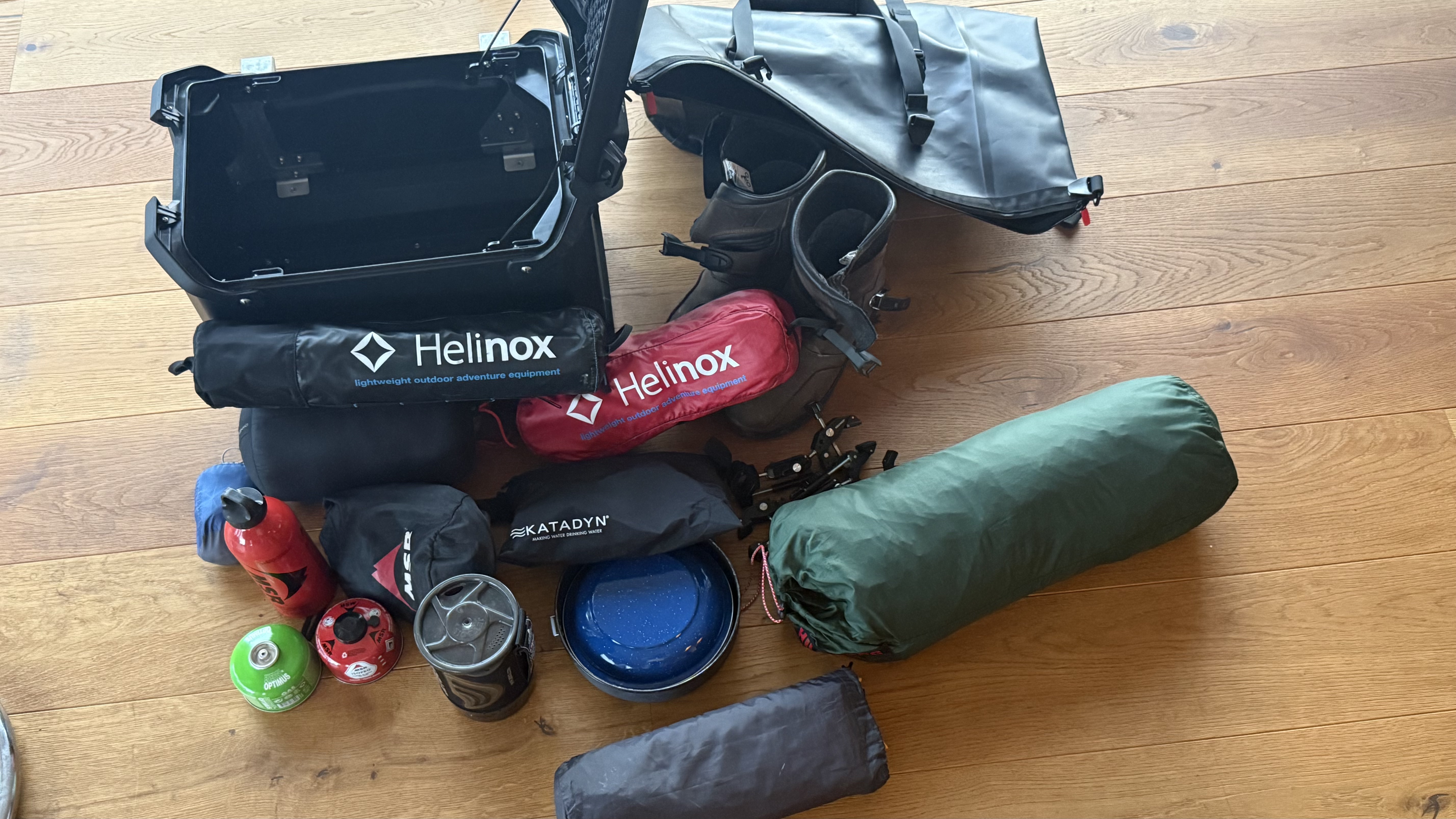
No kilometers gained, but friction removed—plan sharpened, gear dry, body recovered, content ready but waiting on signal.